
Unearth the Forgotten: A Step-by-Step Guide to Mapping Ancient Archaeological Sites
You're about to embark on an intriguing journey into the realm of ancient archaeology. This guide will equip you with the skills needed to accurately map forgotten sites.
You'll master aerial photography, Geographic Information Systems, and the art of deciphering topography. With these tools, you'll reveal the secrets buried for centuries.
So, let's dive in, and together, we'll unearth the mysteries of the past.
Key Takeaways
- Comprehensive site surveying and mapping techniques are essential for understanding the context and relationship between artifacts and the site.
- Integrating Geographic Information Systems (GIS) into the toolkit allows for visualizing spatial data, creating digital replicas of ancient sites, and facilitating data sharing among archaeologists.
- Understanding site topography and historical markers helps gain insights into the site's history and significance, and accurate documentation of features is crucial.
- Maintaining map accuracy and collaboration is important for precise representation of landmarks and artifacts, and the use of digital mapping tools and software applications can enhance the mapping process.
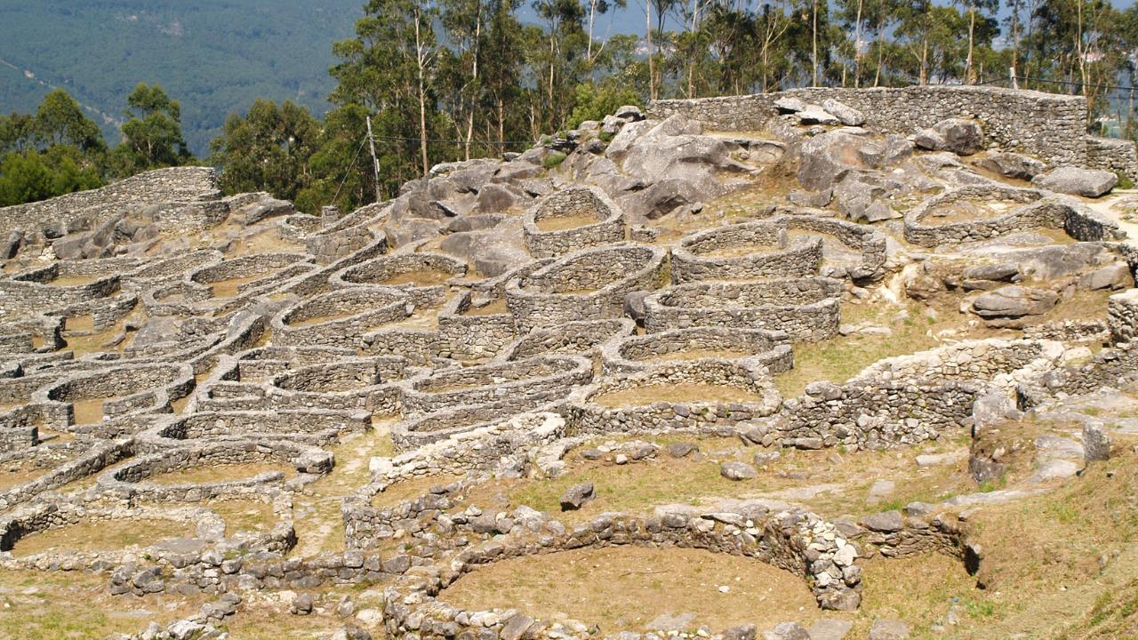
Comprehensive Site Surveying
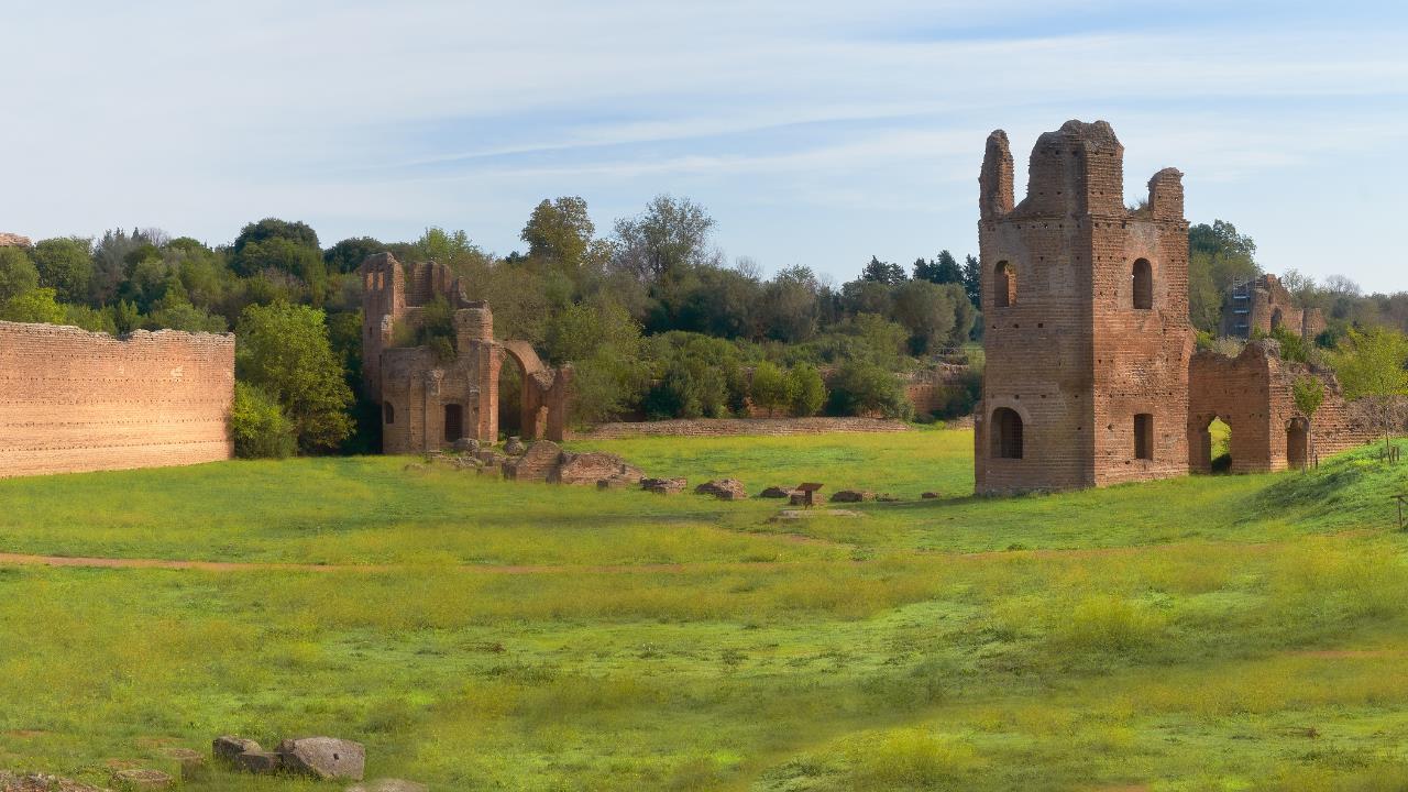
Often, you'll start your archaeological exploration with a comprehensive site survey, a crucial step you shouldn't overlook. It provides a systematic and meticulous overview of the site, unearthing vital information about the potential distribution of archaeological features.
You'll meticulously document the location, size, and shape of everything you find, from soil discolorations to remnants of ancient structures. This process aids in understanding the context and relationship between the artifacts and the site, forming a basis for your research hypotheses.
It's essential to approach this phase with a keen eye and a systematic method, ensuring you don't miss any noteworthy detail.
As you conclude this phase, you're ready to complement your ground-level findings with a broader perspective, transitioning into utilizing aerial photography.
Utilizing Aerial Photography
After you've extensively surveyed the ground, a significant number of vital details can be captured from the sky using aerial photography. It's a potent tool that provides a bird's-eye view, revealing patterns and structures that aren't discernible from ground level.
You can use drones equipped with high-resolution cameras to capture detailed images. These photos are then analyzed meticulously, identifying potential areas of interest like buried structures or unusual land formations. There's also the possibility of employing infrared photography to reveal sub-surface features.
Don't underestimate the value of this overhead perspective. It not only aids in creating a comprehensive site map but also reveals hidden treasures that can redefine our understanding of ancient civilizations.
In your quest to map ancient sites, you'll find that integrating Geographic Information Systems (GIS) into your toolkit can dramatically streamline the process, helping you to identify and record the precise locations of archaeological finds.
The integration of GIS offers several key advantages:
- It provides a visual representation of spatial data, making patterns and relationships easier to discern.
- GIS allows for the layering of different types of data (topographical, environmental, cultural) in one map.
- You can use GIS to create digital replicas of ancient sites, facilitating analysis and preservation.
- GIS facilitates the sharing and collaboration of data among archaeologists globally.
- It supports predictive modeling, which can guide future excavation efforts.
Understanding Site Topography
Now that you've got a handle on GIS integration, let's delve into site topography, a crucial aspect of archaeological mapping.
Understanding the physical features of an archaeological site can provide essential clues about how ancient people lived and interacted with their environment. It's not just about the location of structures, but also about the natural landscape and its modifications over time. Consider how water sources, elevations, and other natural features might've influenced where and how structures were built.
Topography can also provide insights into climate changes, natural disasters, and population shifts. Therefore, it's vital to document topographic features accurately using appropriate tools and techniques. This can help in forming a more complete and nuanced understanding of the site's history and significance.
Identification and Marking Features
You're now ready to tackle the subject of 'Identification and Marking Features'.
It's crucial to understand how to recognize historical markers, utilize landmark indicators, and master the documentation techniques for these features.
Knowledge in these areas is key to accurately map and preserve the integrity of ancient archaeological sites.
Recognizing Historical Markers
Many ancient markers could be hiding in plain sight, so it's critical that you know how to identify them properly.
To make your hunt for historical markers more effective, consider these factors:
- Location: Often, markers are located near historically significant sites or natural features.
- Material: Ancient markers can be made from a variety of materials, including stone, metal, or bone.
- Symbolism: Markers may bear symbols or inscriptions that carry historical or cultural significance.
- Size: Markers can range from small, easily-missed items to large, obvious structures.
- Age: Determining the age of the marker can provide crucial clues about its origin and purpose.
Developing these skills will be invaluable for the next phase of your archaeological journey: utilizing landmark indicators.
Utilizing Landmark Indicators
After you've honed your ability to recognize historical markers, it's time to learn how to effectively use landmark indicators in your archaeological mapping endeavors. These indicators, often physical features or anomalies in the landscape, serve as guideposts to ancient sites.
It's not just about identifying them; it's also about marking them accurately on your map. Are you seeing a peculiar stone formation? Is there an unusually dense cluster of vegetation? These could be indicators of a buried structure or artifact. Document their precise location, size, and appearance. Photograph them for further analysis.
Remember, it's about piecing together clues to form a broader picture.
Next, we'll delve into features documentation techniques, a critical aspect of archaeological mapping.
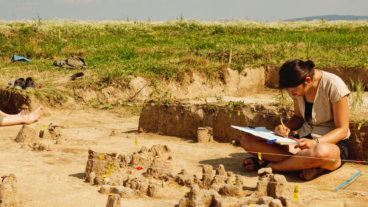
Features Documentation Techniques
Diving headfirst into features documentation techniques, it's crucial that you master the art of identifying and marking these unique indicators on your map. The following steps outline the process:
- Identify significant features: These could be structures, artifacts, or even landscape alterations.
- Use appropriate symbols: Each feature type should have a distinct symbol.
- Label clearly: Each marked feature should be accompanied with a clear, concise label.
- Record coordinates: For increased precision, note down the exact coordinates of each feature.
- Take photographs: A visual record can be invaluable for later analysis.
Such meticulous documentation not only aids in visualizing the site's original layout but also ensures no detail is overlooked.
Next, we'll delve into maintaining map accuracy.
Maintaining Map Accuracy
In your journey of archaeological mapping, it's crucial to maintain map accuracy, ensuring your site's landmarks and artifacts are precisely represented. To do this, you'll need to re-evaluate your work frequently. Cross-check your data with the site itself and with any existing historical records.
Be meticulous in your measurements, using tools like GPS devices and laser range finders for exactitude. Consistent scale is vital, so keep a keen eye for symmetry and proportion.
It's also important to embrace technology. Software like Geographic Information Systems (GIS) can help in maintaining accuracy by providing digital representations of the site.
During your archaeological mapping journey, you'll find that collaboration and the use of digital tools not only streamline the process, but also significantly enhance the accuracy of your findings.
- Collaboration: Working together allows for diverse perspectives and expertise, leading to more comprehensive and accurate maps.
- Digital Mapping Tools: These provide advanced features like 3D visualization, making it easier to understand and analyze complex structures.
- Online Platforms: Cloud-based platforms enable real-time collaboration and data sharing, ensuring that everyone is working with the most up-to-date information.
- Geographic Information System (GIS): This digital tool analyzes spatial location and organizes layers of information into visualizations, improving data interpretation.
- Software Application: Tools like AutoCAD help in creating detailed and precise maps, significantly reducing human error.
Conclusion
You've delved deep into the world of archaeological site mapping, mastering surveying, aerial photography, and Geographic Information Systems.
You've grappled with topography and meticulously marked features, ensuring map accuracy.
Collaborative efforts and digital tools have aided your journey.
Remember, every inch unearthed is a step closer to unveiling our forgotten past.
Your efforts aren't merely maps, but pathways leading us back in time, helping us understand the roots of our collective human story.